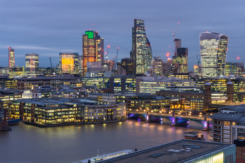
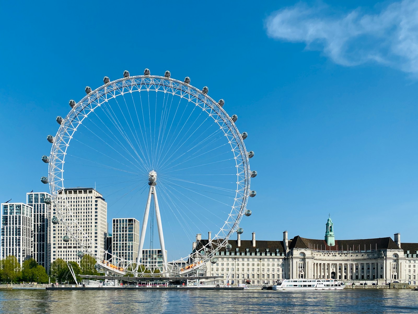
Before our London trip, we made sure to download a London underground map—and we’re glad we did. With 11 Tube lines and hundreds of stations, having a map on hand (digital or paper) makes getting around the city way easier. Whether you want a printable PDF, a live interactive version, or a handy app, here’s exactly where to find the London underground map, both online and in person.
Get To Know The Traveling Taylors!
📲 1. Get It Online (Before You Travel)
The easiest and most flexible way to access the map is digitally. These resources work well for planning your routes in advance.
- TfL Website: Download the official, up-to-date PDF Tube map directly from tfl.gov.uk → Just search “Tube map PDF” or visit their maps section.
- Google Images or Pinterest: Search “London underground map 2025” to find high-res versions. → Great for screenshots or offline use.
- Downloadable Apps:
- Tube Map – London Underground (by Mapway)
- Citymapper or Google Maps (real-time navigation + overlays)
Tip: Save the map image or PDF to your phone’s gallery for quick access underground (Wi-Fi can be spotty).
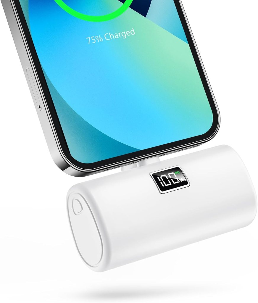
Getting around the city is fairly straightforward thanks to its extensive public transportation system, and many travelers like using a secure phone holder like this one so they can easily follow navigation directions while walking or riding around.
🖨️ 2. Printable Versions for Your Travel Binder
If you like to keep physical papers handy:
- Use the TfL PDF and print it at home on standard A4 or letter paper
- Choose between standard, step-free, or night Tube maps
- Highlight your hotel and key attractions before your trip
Pro Tip: Shrink to pocket size and laminate for durability on the go.
Because the weather can change quickly while navigating the city on foot, some travelers keep their phone and physical papers protected in a waterproof pouch like this one so they can still check maps even during rainy walks.
🚇 3. Pick One Up Inside London
You’ll find free paper maps throughout the city:
- At Any Tube Station: Ask for one at the info desk or look near the ticket machines
- Inside Trains: Many carriages have full or partial route diagrams overhead
- In Hotels & Tourist Centers: Ask at reception—many keep Tube maps for guests
Bonus: The full map is usually posted on the station wall near the entrances and platforms—perfect for planning on the fly.
🧭 4. Use In-Train and Station Displays
Even without a personal map, you’re never far from one in London:
- Overhead Car Maps: Show the current line and next stations
- Station Posters: Every platform and corridor has large map displays
- Digital Boards: Some newer stations have touch-screen route planners
Note: These versions are helpful for quick glances but aren’t portable.
When moving between busy transportation hubs, many travelers prefer keeping important items in a slim running belt like this one so their phone, cards, and passport stay secure while navigating crowds.
🧠Have a London Underground Map Ready—Always
Whether you print one out, download a digital copy, or grab a paper map at the station, having a London underground map makes exploring the city stress-free. It’s the quickest way to figure out routes, check for transfers, and avoid getting stuck on the wrong line. Trust us—just one quick look can save you 20 minutes of walking or backtracking.


Share your thoughts with us! Leave a Comment!