

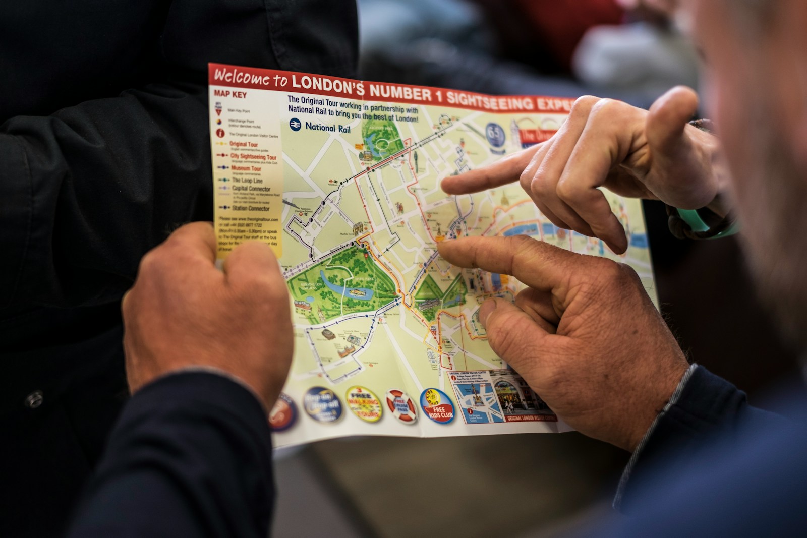
If you’re planning your first trip to England, chances are you’ve stared at a map and wondered—Where should I go? How far is too far? Don’t worry! This travel-focused guide to the England map will help you understand the country’s layout, travel logistics, and key regions—so you can plan a smoother, smarter trip.
Get To Know The Traveling Taylors!
Where Is England on the Map?
England is located in the southern portion of the island of Great Britain, bordered by Scotland to the north and Wales to the west. It’s part of the United Kingdom (UK), which also includes Scotland, Wales, and Northern Ireland. Getting around the city is fairly straightforward thanks to its extensive public transportation system, and many travelers like using a secure phone holder like this one so they can easily follow navigation directions while walking or riding around.
Quick Geography Recap:
- Capital: London
- Surrounded by: the North Sea, Irish Sea, and English Channel
- Shares island with: Scotland and Wales
Understanding the England Map: Regions and Layout
England is divided into nine major regions—each with unique landscapes, accents, and attractions.

1. London: The capital and travel hub—great for first-timers.
2. South East England: Castles, gardens, and coastal towns like Brighton.
3. South West England: The Cotswolds, Cornwall, and the Jurassic Coast.
4. East of England: Charming countryside and the university city of Cambridge.
5. West Midlands: Includes Birmingham and Stratford-upon-Avon.
6. East Midlands: Known for Nottingham, Lincoln, and historic towns.
7. Yorkshire and the Humber: Rolling hills, seaside villages, and medieval York.
8. North West England: Manchester, Liverpool, and the scenic Lake District.
9. North East England: Castles, beaches, and remnants of Roman Britain.
How to Use the England Map to Plan Your Trip
Tip 1: Choose a Region (or Two) to Explore Trying to see all of England in one trip can lead to burnout. Focus on a region like Southern England (London, Bath, Cotswolds), or pair Northern cities like Manchester and York for a deeper dive.

Tip 2: Use the Map to Gauge Distances England looks small, but travel times can surprise you. Roads wind through villages, and trains require transfers. When moving between busy transportation hubs, many travelers prefer keeping important items in a slim running belt like this one so their phone, cards, and passport stay secure while navigating crowds.
Approximate Train Times:
- London to Bath: 1.5 hours
- London to York: 2 hours
- Manchester to Liverpool: 45 minutes
- London to Cornwall: 4–5 hours
Must-Know Map Features for Tourists
Train Network: England’s rail lines connect all major cities, and the map can help you plot efficient routes. If you’re traveling between multiple destinations, packing cubes like these can help keep your suitcase organized so you can easily find what you need during transit.
National Parks: Use the map to find scenic areas like the Lake District, Peak District, and New Forest.
Coastal Access: Look for seaside towns like Whitby, St. Ives, and Dover for a break from city travel.
What the Map Doesn’t Show: Cultural Borders
While regions help with navigation, England is full of local identities that maps don’t reflect.

For Example:
- Yorkshire has its own pride, history, and dialect.
- The Cotswolds isn’t a region—it’s a countryside area across several counties.
- The North-South Divide is a real cultural contrast in lifestyle and cost.
Your England Map, Made Useful for Travel
Understanding the England map isn’t just about knowing where things are—it’s about planning your pace, choosing your base cities, and uncovering the real gems that fit your travel style.



Share your thoughts with us! Leave a Comment!