
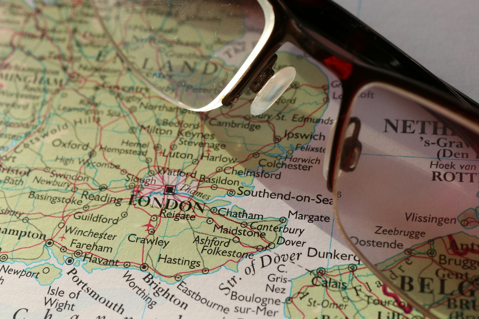
When planning your first trip to the UK, it’s easy to get confused by all the terms—England, Britain, the UK—and even trickier to figure out where everything is on the map. If you’ve looked at an England map and thought “where do I even start?”—this beginner-friendly guide is for you.
Get To Know The Traveling Taylors!
Step 1: England vs. the UK — What the Map Doesn’t Say Clearly
Here’s the basic geography:
- England is one of four countries in the United Kingdom (UK)
- The UK includes:
- England (southern part of the island)
- Scotland (north of England)
- Wales (west of England)
- Northern Ireland (across the Irish Sea)
On the Map: England is the largest by land and population, taking up the bulk of the island of Great Britain. For longer trips that involve trains or multiple stops, compression packing cubes like these can help maximize space in your luggage and keep everything neatly separated.
Step 2: Understand the Regions of England
England is split into nine official regions, which are helpful for planning your route:
- London – The capital, filled with history, culture, and connections
- South East – Home to Oxford, Brighton, and countryside estates
- South West – Think Cornwall, the Cotswolds, and the Jurassic Coast
- East of England – Coastal escapes like Norfolk and Cambridge
- West Midlands – Birmingham, Stratford-upon-Avon, and canals
- East Midlands – Historic towns like Lincoln and Nottingham
- Yorkshire and the Humber – Rolling hills, York, and seaside gems
- North West – Manchester, Liverpool, and Lake District adventures
- North East – Castles, Hadrian’s Wall, and rugged coastlines
Traveler Tip: Each region has its own accent, charm, and local specialties—it’s worth exploring beyond just London!
Step 3: Key Cities on the England Map (and Why They Matter)
Here are major cities travelers often target, and what they’re known for:
- London – Global capital, museums, royals, and endless activities
- Bath – Roman history, Georgian architecture, thermal spas
- York – Walled medieval city with Viking roots
- Liverpool – Beatles, football, and maritime heritage
- Manchester – Music, football, and a lively cultural scene
- Oxford/Cambridge – University towns with stunning architecture
- Brighton – Seaside energy with indie flair
- Bristol – Creative hub and gateway to southwest England
Step 4: Estimating Travel Time Using the England Map
England looks small on the map—but don’t underestimate journey times. For longer travel days or train rides between cities, a lightweight travel backpack like this one is useful for carrying essentials like snacks, chargers, travel documents, and a jacket.
Examples by Train (approximate):
- London to York – 2 hours
- London to Bath – 1.5 hours
- London to Liverpool – 2.5 hours
- London to Cornwall – 5 hours+
Driving in England?
- Roads are often narrow and winding outside cities
- Plan for slower speeds and fewer highways in rural regions
Step 5: Common Mistakes People Make With the England Map
❌ Confusing England with the whole UK
❌ Underestimating travel distances
❌ Skipping northern and coastal regions
❌ Trying to do too much in one trip
Better Approach: Focus on 1–2 regions per trip for a richer experience. For example:
- Southern England trip: London + Bath + Cotswolds
- Northern loop: Manchester + Lake District + York
Make the Most of Your Trip by Understanding the England Map
With a little clarity, the England map becomes a powerful trip-planning tool—not a source of confusion. From iconic cities to hidden coastal villages, England is packed with regional gems you’ll miss if you only stay in London. If you’re traveling between multiple destinations, packing cubes like these can help keep your suitcase organized so you can easily find what you need during transit.















Share your thoughts with us! Leave a Comment!