
Before our London trip, we studied several versions of the London subway map—and quickly realized they can be overwhelming at first glance. With 11 lines, 272 stations, and multiple fare zones, it’s easy to get confused. But once you understand a few basics, reading the Tube map becomes second nature. Here’s a quick and clear breakdown of London subway maps, what to focus on as a tourist, and how to use them to move confidently across the city.
Experience London With Us!
🧭 What Is the London Subway Map?
The official map is called the London Underground Map, commonly known as the Tube map. It’s a simplified diagram—not a geographic one—designed to make navigating easy by focusing on line connections rather than distances.
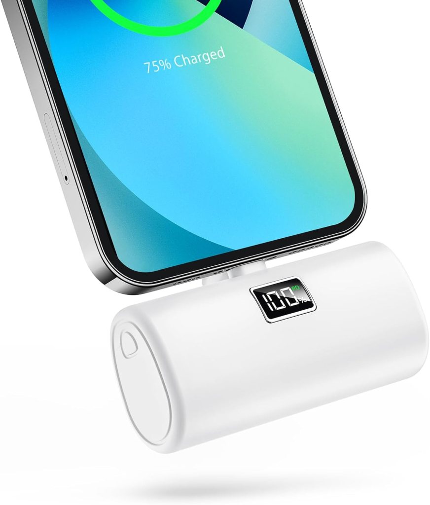
When moving between busy transportation hubs, many travelers prefer keeping important items in a slim running belt like this one so their phone, cards, and passport stay secure while navigating crowds.
Good to Know:
- Operated by Transport for London (TfL)
- Shows 11 subway lines + some regional trains
- Divided by fare zones (Zones 1–9), central London = Zone 1
🎨 Key Lines Tourists Should Know
While the map includes all lines, tourists mainly use these:
| Line | Color | Major Stops |
|---|---|---|
| Piccadilly Line | Dark Blue | Heathrow, Covent Garden, King’s Cross |
| Central Line | Red | Oxford Street, Notting Hill, Bank |
| District Line | Green | Westminster, South Kensington |
| Circle Line | Yellow | Loop through central tourist areas |
| Jubilee Line | Silver | London Bridge, Canary Wharf |
Tip: Focus on the stations nearest to attractions, not just the line color.
For longer travel days or train rides between cities, a lightweight travel backpack like this one is useful for carrying essentials like snacks, chargers, travel documents, and a jacket.
🗺️ What the Zones Mean on the Map
- Zone 1: Central London—most tourist attractions
- Zones 2–6: Outer neighborhoods and airports
- Zone info affects fares, not where the train goes
Smart Tip: If you’re staying central, you’ll mostly travel in Zones 1–2 (lower fares).
📱 Best Ways to Access the Map
- Google Maps or Citymapper: Great for real-time directions
- TfL website: Downloadable PDF Tube map
- In stations: Wall maps, paper maps, and platform diagrams
- In trains: Overhead line maps with lights showing upcoming stops
Bonus: Look for “step-free” maps if you need elevators or ramps.
🚇 How to Use the Map to Plan Your Route
- Find your station (start point) and your destination
- Trace the line(s)—you may need to transfer
- Count the stops, so you know when to get off
- Note the direction—signs at platforms help you confirm
- Use apps for real-time platform numbers and delays
❌ Common Mistakes Tourists Make with the Tube Map
- Assuming it’s to scale (it’s not)
- Mixing up King’s Cross with St. Pancras—they’re connected but different
- Forgetting to tap out—important for correct fare
- Trying to use Tube map for buses (they have a different map)
Getting around the city is fairly straightforward thanks to its extensive public transportation system, and many travelers like using a secure phone holder like this one so they can easily follow navigation directions while walking or riding around.
🧠Master the London Subway Map with Confidence
The London subway map may look intimidating, but it’s designed to help—even if it’s not drawn to scale. Stick to the central lines, focus on key stations, and use digital tools to simplify your trip. Once you get the hang of it, navigating London by Tube becomes a breeze—and honestly, kind of fun.


Share your thoughts with us! Leave a Comment!