

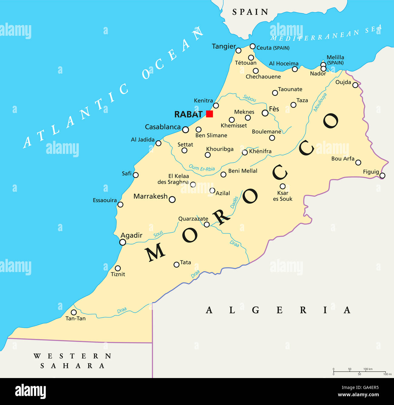
When we first looked at a Rabat map, it seemed simple enough—but once we arrived, we realized the city feels very different on the ground. Distances are bigger than they look, neighborhoods have completely different vibes, and knowing how everything connects makes a huge difference.
Get To Know The Traveling Taylors!
Here’s how to actually understand a Rabat map so you can explore confidently and like a local. Before you head out, keeping your phone steady and your route in view makes all the difference, which is why some travelers never travel without a secure phone holder like this one.
Rabat Map Basics: Understanding the Layout
The first thing to know about any Rabat map is that the city is spread out but logically organized.
Key landmarks help you orient yourself quickly:
- The Atlantic Ocean sits to the west
- The Bou Regreg River separates Rabat from Salé
- Most main attractions sit between the river and the ocean
Once you understand this, reading a Rabat map becomes much easier.
Quick tip: If you can locate the coast, you’ll always know which direction you’re facing. Since orienting yourself here means covering a lot of ground on foot, a pair of supportive walking sneakers like these will keep you comfortable all day.
Rabat Map: The 4 Areas You Need to Know
A Rabat map becomes far less overwhelming when you break it into its main districts.
1. Medina (Old City)
- Compact and walkable
- Full of markets and traditional vibes
- Easy to explore but slightly confusing at first
If you love documenting your adventures, a compact wearable camera like this one is an excellent way to capture immersive hands-free POV footage of the medina, allowing you to record every memorable moment as you explore iconic landmarks and cultural attractions in the medina.
2. Hassan (City Center)
- Clean, structured, and central
- Home to major landmarks
- Best starting point on any Rabat map
Many travelers love bringing an instant camera like this one to capture fun memories at famous landmarks and print photos on the spot.
3. Agdal
- South of the center
- Modern, lively, and full of cafés
- Well-connected by tram
4. Ocean District
- Along the coast
- Relaxed and residential
- Less touristy but beautiful
Understanding these four zones makes any Rabat map instantly clearer.
Rabat Map Distances: Bigger Than They Look
One of the biggest mistakes travelers make with a Rabat map is underestimating distance.
What looks close on the map can actually take:
- 25–30 minutes on foot
- 10–15 minutes by taxi
For example:
- Medina → Agdal isn’t realistically walkable for most
- Hassan → Ocean is manageable but still a decent walk
Local mindset: Don’t rely on walking alone—mix in taxis or trams. To stay comfortable during those long stretches between districts, we always keep a portable power bank like this one charged so navigation apps never die mid-trip.
Rabat Map Transport: How Locals Get Around
Understanding transport is key to mastering a Rabat map.
🚋 Tram System
- Connects Hassan, Agdal, and beyond
- Cheap, clean, and reliable
- Best for longer distances
🚕 Petit Taxis
- Widely available
- Affordable for short trips
- Always confirm price or meter
🚶 Walking
- Ideal in:
- Medina
- Hassan
- Less practical between districts
Combining these options makes navigating any Rabat map effortless. In the busy medina and crowded trams, we like keeping valuables out of sight in a hidden money belt like this one for peace of mind.
Rabat Map Mistakes Tourists Always Make
Even with a rabat map, travelers often run into the same issues.
Common mistakes:
- Trying to walk everywhere
→ The city is bigger than expected - Booking hotels too far out
→ Leads to constant transport reliance - Ignoring neighborhood differences
→ Each area feels completely different - Not saving offline maps
→ Internet isn’t always reliable
Avoid these, and your Rabat map experience becomes much smoother.
How to Read a Rabat Map Like a Local
Locals don’t rely heavily on maps—they think in landmarks and districts.
Here’s how to do the same:
- Use Hassan Tower as a central reference point
- Think in zones (Medina, Hassan, Agdal) instead of streets
- Orient yourself using the coastline
Pro tip: Download Google Maps offline before exploring. On bright, sunny days spent wandering between landmarks, a good pair of UV-protective sunglasses like these makes reading the map outdoors far easier on your eyes.
Best Strategy for Using a Rabat Map Daily
To get the most out of a Rabat map, keep your daily plans simple.
Smart approach:
- Focus on one area per day
- Group nearby attractions together
- Use taxis or trams between districts
This saves time and reduces travel fatigue.
Rabat Map: Explore Smarter, Not Harder
A Rabat map might look straightforward—but understanding how the city actually works is what makes the difference. Once you know the key districts, realistic distances, and how locals move around, Rabat becomes incredibly easy to navigate. Instead of feeling lost, you’ll feel confident, efficient, and free to explore. And honestly? That’s when Rabat really starts to shine.













Share your thoughts with us! Leave a Comment!