

When we first started planning our trip, one of the most helpful things was studying a Trinidad map. Although the island isn’t huge, it has several regions, cities, beaches, and natural areas that can feel confusing if you don’t know where everything is. Understanding the Trinidad map helps travelers plan where to stay, what to see, and how to move around the island. From Port of Spain in the northwest to the beaches along the north coast, each part of the island offers something different.
Get To Know The Traveling Taylors!
This guide explains how to read a Trinidad map and highlights the most important places visitors should know.
Trinidad is the larger island of the country Trinidad and Tobago, located just off the northeastern coast of South America near Venezuela.
On a Trinidad map, the island appears roughly rectangular, with mountains in the north and flatter areas in the south.
Several key regions help travelers understand the layout of the island.
These regions include:
- The northwest (Port of Spain area)
- The north coast beaches
- Central Trinidad
- South Trinidad
- The eastern countryside
Each of these areas plays a different role on the Trinidad map.
Reading about a place is one thing, but experiencing it in person is even better. Travel often means carrying extra gear, and a durable travel backpack like this one helps keep everything organized throughout the day.
Port of Spain on the Trinidad Map
The capital city, Port of Spain, is located in the northwestern corner of the island on most Trinidad maps.
Port of Spain is the main cultural and business center of Trinidad. Many visitors start their trip here because it offers:
- Hotels and restaurants
- Nightlife and shopping
- Museums and historic buildings
- Carnival celebrations
Because of its location and attractions, Port of Spain is one of the most important places you’ll notice on a Trinidad map.
Exploring new places often means taking lots of photos and videos, which is why many travelers bring a smart face-tracking phone tripod like this one to record hands-free while walking around Port of Spain.
North Coast Beaches on the Trinidad Map
One of the most scenic parts of the island appears along the northern coastline of the Trinidad map.
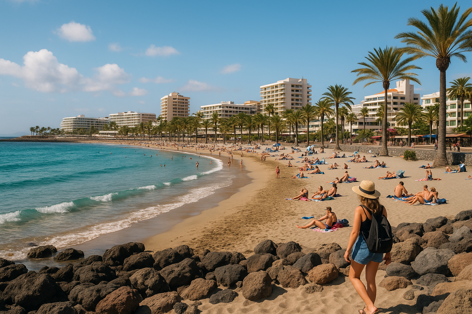
This region is famous for dramatic mountain roads and beautiful beaches.
Popular north coast locations include:
- Maracas Bay
- Las Cuevas Beach
- Blanchisseuse
- Tyrico Bay
These beaches sit just north of Port of Spain on the Trinidad map, connected by one of the island’s most scenic coastal roads.
Many travelers use the Trinidad map to plan day trips from the capital to these beach destinations.
Capture breathtaking views of the north coast and the beaches with a drone like this one, featuring ultra-high-definition video that brings the stunning coastline of the beach to life in vivid detail and crystal-clear clarity.
Central Trinidad on the Trinidad Map
The middle of the island is known as Central Trinidad, which appears in the center of the Trinidad map.
This region is home to the city of Chaguanas, one of the fastest-growing cities in the country.
Central Trinidad is important for:
- Shopping centers
- Local markets
- Transportation connections
- Residential communities
Because it sits between the north and south, this area often acts as a crossroads on the Trinidad map.
South Trinidad on the Trinidad Map
The southern region of the island is another important area visible on the Trinidad map.
The main city here is San Fernando, the second-largest city in the country.
South Trinidad is known for:
- Energy industries such as oil and gas
- Coastal towns and fishing villages
- Cultural heritage sites
San Fernando often appears prominently on a Trinidad map because of its economic importance.
Many travelers choose to commemorate their experience with a keepsake journal like this one, thoughtfully crafted for those who enjoy preserving meaningful memories while recording the stories, history, and cultural traditions of the region.
Eastern Trinidad on the Trinidad Map
The eastern side of the Trinidad map is less developed and more rural than other parts of the island.
This region includes forests, farmland, and small communities.
Travelers exploring eastern Trinidad may visit places such as:
- Arima
- Sangre Grande
- Nature reserves and wildlife areas
Although fewer tourists visit this side of the island, it offers a quieter and more natural landscape on the Trinidad map.
Roads and Transportation on the Trinidad Map
Several major highways help travelers move around the island.
Important roads you’ll see on a Trinidad map include:
- The Churchill–Roosevelt Highway connecting Port of Spain to the east
- The Sir Solomon Hochoy Highway connecting central Trinidad to the south
These highways make it easier to travel between major cities shown on the Trinidad map. If you plan on renting a car in Trinidad, a reliable GPS phone mount can make navigating unfamiliar roads much easier. Many travelers swear by a dashboard-mounted holder like this one, which keeps your directions clearly visible while allowing you to focus on the road ahead.
Why Understanding the Trinidad Map Helps Travelers
Learning how to read a Trinidad map makes planning your trip much easier.
It helps travelers understand how close major attractions are to each other and which regions they want to explore.
For example, visitors staying in Port of Spain can easily take day trips along the north coast or travel south to explore other parts of the island.
Using a Trinidad Map to Plan Your Trip
Whether you’re visiting beaches, exploring cities, or discovering local culture, using a Trinidad map helps you make the most of your time on the island. The map shows how different regions connect and highlights the diversity of landscapes across Trinidad. From the bustling capital to quiet rural villages and scenic coastal roads, every part of the island has something unique to offer. Once you understand the Trinidad map, exploring the island becomes much easier—and much more exciting. 🗺️🇹🇹











Share your thoughts with us! Leave a Comment!