
When we started planning our trip, one of the first things we looked at was a Scotland map. At first glance, the country might seem small, but the Scotland map quickly revealed how diverse the landscape really is. Mountains, cities, islands, and historic landmarks are spread across the country. Understanding a Scotland map makes it much easier to visualize where places are located and how to plan a travel route that fits your itinerary. If you want a broader overview first, our guide on how to understand Scotland before you visit is a helpful companion read.
Get To Know The Traveling Taylors!
Where Scotland Is Located on the Map
A Scotland map shows the country located in the northern part of the island of Great Britain. Scotland shares its only land border with England to the south.
Getting around the city is fairly straightforward thanks to its extensive public transportation system, and many travelers like using a secure phone holder like this one so they can easily follow navigation directions while walking or riding around.
The Scotland map also shows the surrounding waters:
- The North Sea to the east
- The Atlantic Ocean to the west
- The Irish Sea to the southwest
In addition to the mainland, a Scotland map includes hundreds of islands located along the northern and western coasts.
Major Regions on the Scotland Map
When examining a Scotland map, you’ll notice the country is divided into several major regions. Each region offers its own landscapes, attractions, and travel experiences.
Key regions visible on a Scotland map include:
The Highlands
A vast mountainous region known for dramatic scenery and remote landscapes.
The Lowlands
The southern part of Scotland where many cities and historic towns are located.
The Central Belt
A densely populated region that includes Scotland’s largest cities.
The Islands
Island groups such as the Hebrides, Orkney, and Shetland that appear on the Scotland map.
These regions help travelers understand the geography of Scotland before planning their visit.
Major Cities on the Scotland Map
A Scotland map highlights several important cities that serve as transportation hubs and cultural centers.
Some of the largest cities on the Scotland map include:
Edinburgh
The capital city and home to famous landmarks such as Edinburgh Castle.
Glasgow
Scotland’s largest city and a major center for arts, music, and culture.
Aberdeen
A coastal city located in the northeast part of the Scotland map.
Dundee
A growing city known for innovation and design.
These cities are often starting points for exploring other destinations on the Scotland map.
For long travel days or train rides between cities, a lightweight travel backpack like this one is useful for carrying essentials like snacks, chargers, travel documents, and a jacket.
Famous Landmarks on a Scotland Map
Many well-known attractions appear across the Scotland map. These landmarks are spread throughout the country and often surrounded by incredible scenery.
Some famous locations shown on a Scotland map include:
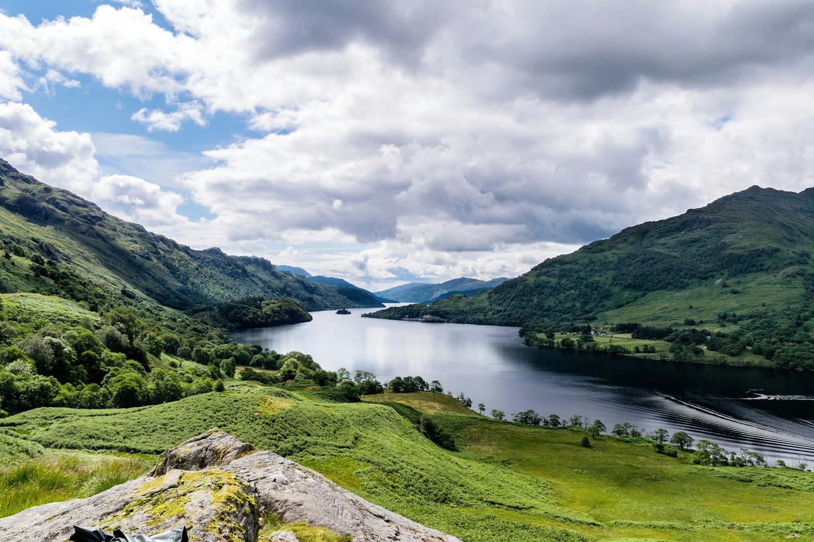
- Loch Ness, known worldwide for its legendary monster
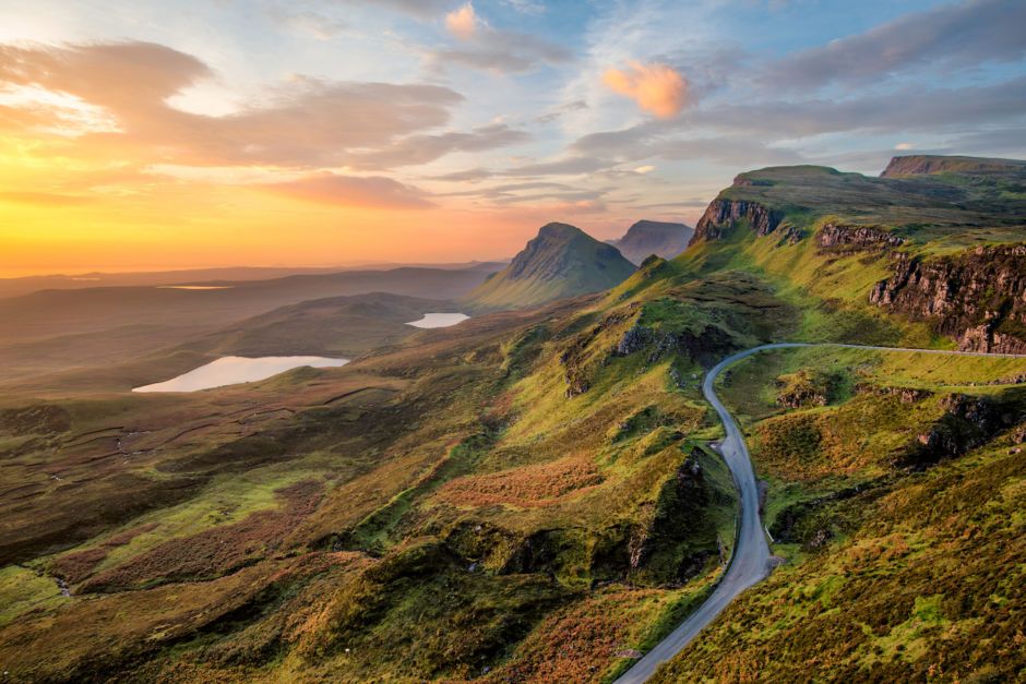
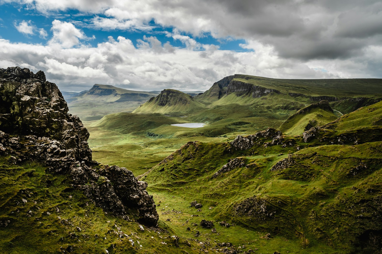
- The Isle of Skye, famous for dramatic landscapes
- Ben Nevis, the tallest mountain in the United Kingdom
- Glen Coe, a stunning valley in the Highlands
- Cairngorms National Park, one of the largest national parks in the UK
These landmarks help travelers identify some of the most scenic areas on a Scotland map.
Islands Featured on the Scotland Map
One surprising feature of the Scotland map is the large number of islands. Scotland has more than 700 islands, many of which are located along the western and northern coasts.
Some of the most famous island groups on the Scotland map include:
The Hebrides
Known for rugged landscapes and beautiful beaches.
Orkney Islands
Located north of mainland Scotland and rich in ancient history.
Shetland Islands
The northernmost islands visible on the Scotland map.
These islands add another layer of diversity to Scotland’s geography.
Using a Scotland Map for Travel Planning
A Scotland map is extremely useful when planning a travel itinerary. Because many attractions are located far apart, seeing their locations on a map helps travelers plan realistic routes.
A Scotland map can help you:
✔ Estimate travel distances between destinations
✔ Identify scenic driving routes
✔ Locate national parks and historic landmarks
✔ Plan island ferry trips
Many travelers rely on a Scotland map when planning road trips through the Highlands. If you’d rather leave the driving to someone else, a Loch Ness, Glencoe & the Highlands day trip from Edinburgh is an easy way to see several of these landmarks in a single day.
Digital Scotland Maps for Modern Travelers
Today, travelers often use digital versions of a Scotland map while exploring the country.
Navigation apps and online maps make it easy to:
- Find directions between cities
- Discover nearby attractions
- Locate restaurants, hotels, and viewpoints
However, having a general understanding of the Scotland map before arriving can still make travel much smoother.
Long sightseeing days can quickly drain your phone battery, so carrying a portable power bank like this one helps ensure your phone stays charged for maps, photos, and travel apps.
Understanding Scotland Through a Map
Studying a Scotland map before visiting helps travelers see how the country’s landscapes, cities, and attractions connect. It also helps explain why travel times between destinations can be longer than expected.
During our trip, looking at the Scotland map helped us plan better routes and discover destinations we might have missed. The map made it easier to understand how Scotland’s regions fit together.
For anyone planning a trip, learning how to read a Scotland map is one of the best ways to prepare for exploring this beautiful and diverse country.


Share your thoughts with us! Leave a Comment!