
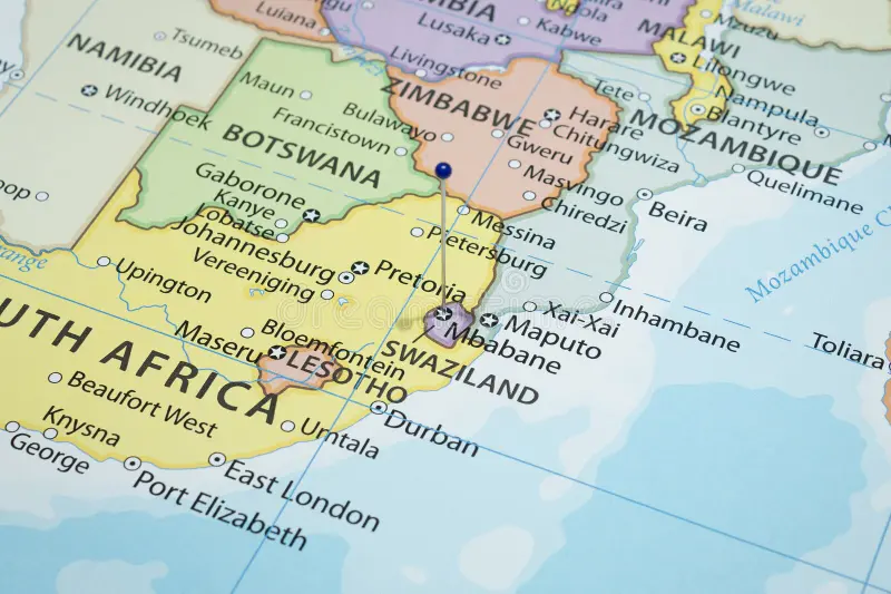
When we first looked at an Eswatini map, it seemed like a small, easy country to navigate. But once we started planning, we realized there’s more to it than meets the eye. Understanding the layout properly can save you time, help you plan smarter routes, and make your trip far more enjoyable.
Get To Know The Traveling Taylors!
Understanding the Eswatini Map
At first glance, the Eswatini map looks simple—but it’s divided into distinct regions that each offer a different experience.
Here’s a quick overview:
- Compact country, but with varied landscapes
- Four main regions with different climates
- Distances that look short but take longer than expected
Quick Tip: Always check travel time—not just distance—when using an Eswatini map. Because sightseeing often means lots of photos and videos, having a reliable travel backpack like this one makes it easy to carry your camera gear and accessories as you travel through Eswatini.
The Four Main Regions on an Eswatini Map
Knowing the regions is key to using an Eswatini map effectively.
Hhohho Region (Northwest)
- Includes Mbabane (the capital)
- Cooler temperatures due to elevation
- Close to Sibebe Rock
Best for: First-time visitors and scenic views – For travelers who want high-quality photos and videos during their trip to Eswatini, a lightweight mirrorless camera like this one is a popular choice among content creators and travel photographers.
Manzini Region (Central)
- Economic hub of the country
- Home to Ezulwini Valley
- Central location for exploring
This is one of the most important areas on an Eswatini map for travelers.
Lubombo Region (East)
- Lower elevation and warmer climate
- Home to wildlife parks like Hlane
- More rural and less developed
Best for: Safari experiences
Shiselweni Region (South)
- Least visited region
- Quiet and more traditional
- Rolling landscapes – For solo travelers or couples exploring this region, a smart face-tracking phone tripod like this one can automatically follow your movement and help capture great videos hands-free.
A less explored area on the Eswatini map, but worth considering.
Key Routes on the Eswatini Map
Understanding major roads helps you plan your journey better.
Main Highways:
- MR3: Connects Mbabane to Manzini
- MR103: Leads toward Sibebe Rock
- MR16 & MR8: Routes toward eastern parks
These are the backbone of travel across the Eswatini map.
Driving Distances on an Eswatini Map
One of the biggest surprises is how long journeys can take.
What to Expect:
- Short distances can still take 1–2 hours
- Road conditions vary
- Wildlife and local traffic can slow you down
Pro Tip: Build extra time into your itinerary when using an Eswatini map.
Must-Visit Spots on an Eswatini Map
Here are some key places to mark when planning:
- Mbabane (capital city)
- Ezulwini Valley (central tourist hub)
- Hlane Royal National Park
- Sibebe Rock
- Mantenga Cultural Village – Some travelers who visit the Mantenga Cultural Village elevate their experience with a keepsake journal thoughtfully designed for travelers who love capturing memories, documenting adventures, and preserving the fun of every trip.
Plotting these on your Eswatini map helps create a logical route.
How to Plan Your Route Using an Eswatini Map
A good route makes your trip smoother and more enjoyable.
Simple Planning Strategy:
- Start in Mbabane or Manzini
- Explore nearby attractions first
- Move outward to parks and rural areas
- Avoid backtracking where possible
This approach works well when navigating an Eswatini map.
Common Mistakes When Using an Eswatini Map
Avoid these to travel smarter:
- Underestimating travel times
- Trying to cover too much in one day
- Ignoring road conditions
- Not grouping nearby attractions
These mistakes can make your Eswatini map less helpful than it should be. Self-care is important when traveling, especially after long sightseeing days, and many travelers like using a nourishing body oil like this one to help keep their skin soft and hydrated.
Digital vs Physical Eswatini Map
Both options have their benefits.
Digital Maps:
- Easy navigation
- Real-time updates
- GPS functionality
Physical Maps:
- Useful in low-signal areas
- Good for overall planning
- No battery needed
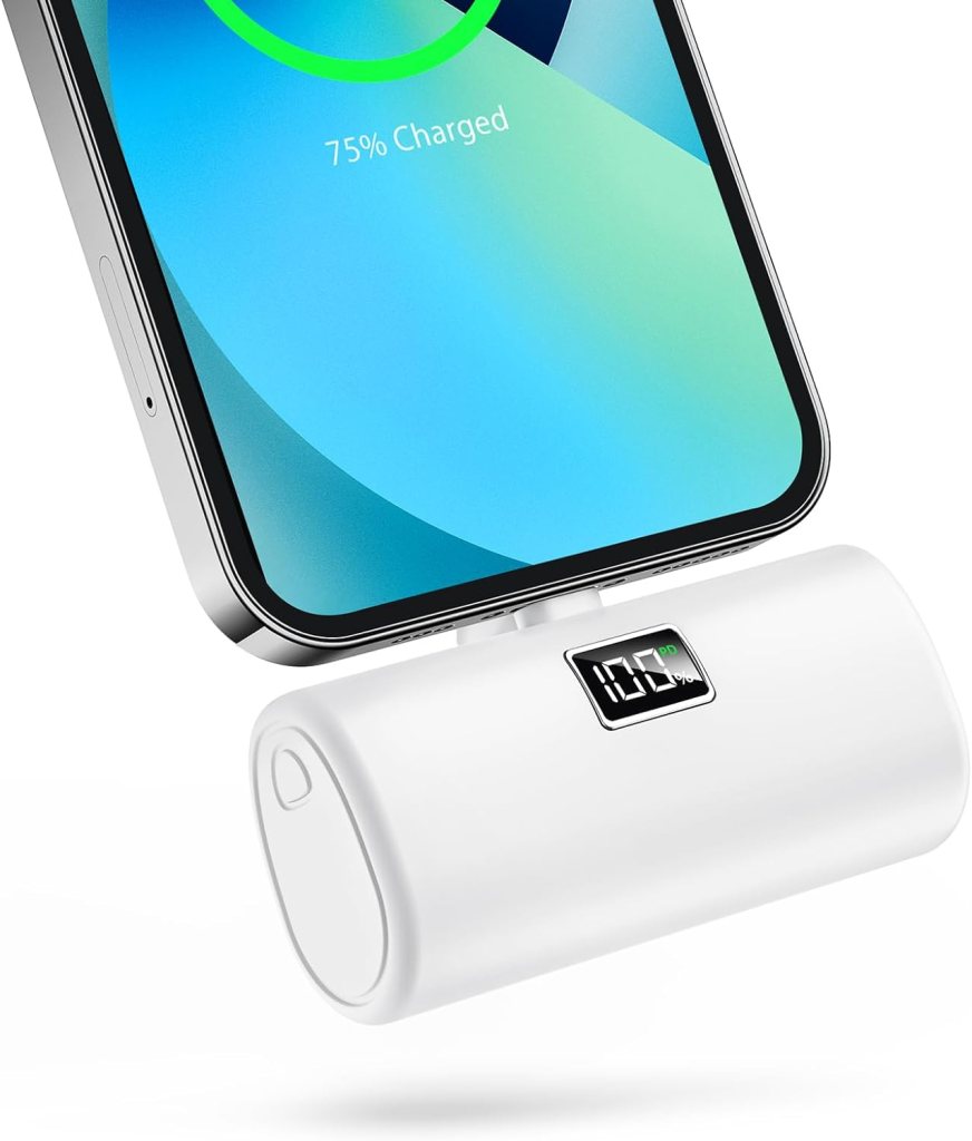
Quick Tip: Use both for the best experience with an Eswatini map. Some travelers also carry a mini portable charger like this one in their pocket or bag so they always have backup battery power for maps, photos, and ride apps.
Make the Most of Your Eswatini Map
An Eswatini map is more than just directions—it’s a tool for shaping your entire trip. Once you understand the regions, routes, and travel times, planning becomes much easier.
With the right approach, your Eswatini map will help you travel smarter, avoid unnecessary stress, and make the most of every stop along the way.
Related Eswatini guides: Compare this with our second Eswatini map guide for more route ideas, and start your planning with our full Eswatini travel guide. Since driving those distances is easier with your own vehicle, see our Eswatini rental cars guide. Once you’ve mapped your route, don’t miss Hlane Royal National Park and Mantenga Cultural Village.












Share your thoughts with us! Leave a Comment!