
When we first visited the Canary Islands, we quickly realized that understanding a map of the Canary Islands makes planning your trip dramatically easier. Each island offers something completely different, from volcanic landscapes to endless beaches.
Get To Know The Traveling Taylors!
If you look at a map of the Canary Islands, you’ll notice the islands stretch across the Atlantic Ocean just off the coast of northwest Africa. While they all belong to Spain, their landscapes, experiences, and travel styles vary a lot. This guide breaks down the map of the Canary Islands so you can instantly see which island might be perfect for your trip.
Getting around the city is fairly straightforward thanks to its extensive public transportation system, and many travelers like using a secure phone holder like this one so they can easily follow navigation directions while walking or riding around.
How to Read a Map of the Canary Islands
A map of the Canary Islands shows eight main islands spread west to east in the Atlantic. The islands are usually grouped into two main clusters, which helps travelers understand travel distances.
Western islands (more nature-focused):
- Tenerife
- La Palma
- La Gomera
- El Hierro
Eastern islands (more beach-focused):
- Gran Canaria
- Fuerteventura
- Lanzarote
- La Graciosa
Quick Tip:
When studying a map of the Canary Islands, the islands on the left (west) tend to be greener and more mountainous, while those on the right (east) are drier with larger sandy beaches.
Because the weather can change quickly while navigating the city on foot, some travelers keep their phone protected in a waterproof pouch like this one so they can still check maps even during rainy walks.
Map of the Canary Islands: Best Island for Volcanoes
If your goal is dramatic landscapes and volcanic adventures, the map of the Canary Islands clearly points to Tenerife and Lanzarote.
Tenerife
Home to Spain’s highest peak, Mount Teide, Tenerife offers incredible volcanic scenery. It’s ideal if you want a mix of nature, beaches, and lively towns.
Lanzarote
Lanzarote feels like another planet. Lava fields, volcanic parks, and black-rock coastlines dominate the island.
Best for:
• Volcano landscapes
• Unique geology
• National parks
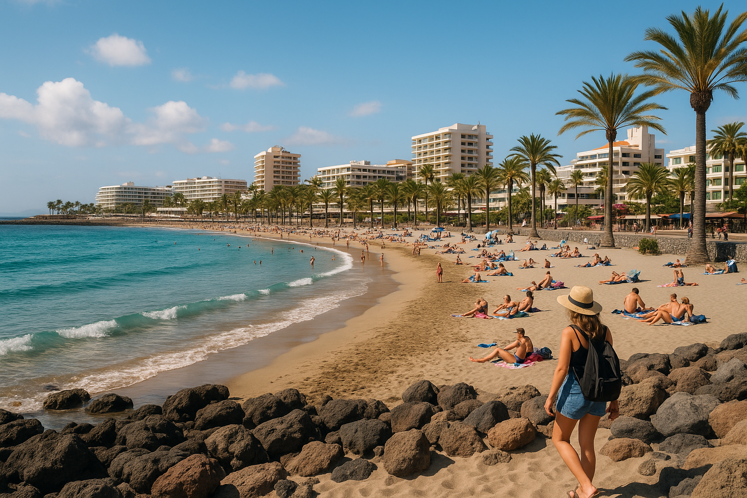
Map of the Canary Islands: Best Island for Beaches
If beaches are your priority, the map of the Canary Islands will lead you toward the eastern islands.
Fuerteventura
Often considered the beach capital of the Canary Islands, Fuerteventura has massive stretches of golden sand.
Gran Canaria
Gran Canaria offers both resort beaches and dramatic dunes.
Best for:
• Long sandy beaches
• Windsurfing and kitesurfing
• Relaxed beach holidays
Map of the Canary Islands: Best Island for Natur
Nature lovers studying a map of the Canary Islands will notice that the western islands are greener and less developed.
La Palma
Nicknamed “La Isla Bonita,” this island is famous for volcanic craters, forests, and stargazing.
La Gomera
Perfect for hiking with ancient forests and deep valleys.
Best for:
• Hiking
• National parks
• Quiet escapes
Map of the Canary Islands: Best Island for Quiet Travel
If you’re looking for somewhere peaceful, the map of the Canary Islands highlights two lesser-known islands.
El Hierro
The smallest main island, perfect for slow travel and diving.
La Graciosa
A tiny island north of Lanzarote with sandy roads and almost no cars.
Best for:
• Off-the-beaten-path travel
• Peaceful villages
• Unique island culture
Quick Comparison Using a Map of the Canary Islands
Here’s a simple way to remember the islands when looking at a map of the Canary Islands.
Tenerife: Best overall mix
Gran Canaria: Resorts and dunes
Fuerteventura: Best beaches
Lanzarote: Volcanic landscapes
La Palma: Nature and stargazing
La Gomera: Hiking paradise
El Hierro: Quiet adventure
La Graciosa: Hidden island escape
Pro Tip:
Many travelers combine two islands in one trip. A map of the Canary Islands makes it easy to see which islands are closest for ferry travel.
When moving between busy transportation hubs, many travelers prefer keeping important items in a slim running belt like this one so their phone, cards, and passport stay secure while navigating crowds.
Using a Map of the Canary Islands to Plan the Perfect Trip
Understanding a map of the Canary Islands helps you avoid one of the most common travel mistakes: choosing the wrong island for your interests. If you want beach resorts, the eastern islands are perfect. If you want dramatic nature and quieter towns, the western islands might be a better fit. The good news is that every island has its own personality, and studying a map of the Canary Islands before booking flights will help you build the perfect itinerary. Whether you’re chasing volcanic landscapes, sandy beaches, or peaceful hiking trails, the map of the Canary Islands is the key to finding the island that matches your travel style. 🌴✈️


Share your thoughts with us! Leave a Comment!