
Whether you’re planning your first trip or just brushing up on your UK geography, you might be wondering: Where is Edinburgh located? Scotland’s enchanting capital sits in a scenic, strategic spot—making it easy to visit and even easier to fall in love with. Here’s everything you need to know.
Get To Know The Traveling Taylors!
1. Edinburgh’s Location on the Map
- Situated in southeastern Scotland, along the southern shore of the Firth of Forth.
- About 50 miles east of Glasgow and 400 miles north of London.
- Nestled between the Pentland Hills and the North Sea coast.
Getting around the city is fairly straightforward thanks to its extensive public transportation system, and many travelers like using a secure phone holder like this one so they can easily follow navigation directions while walking or riding around.
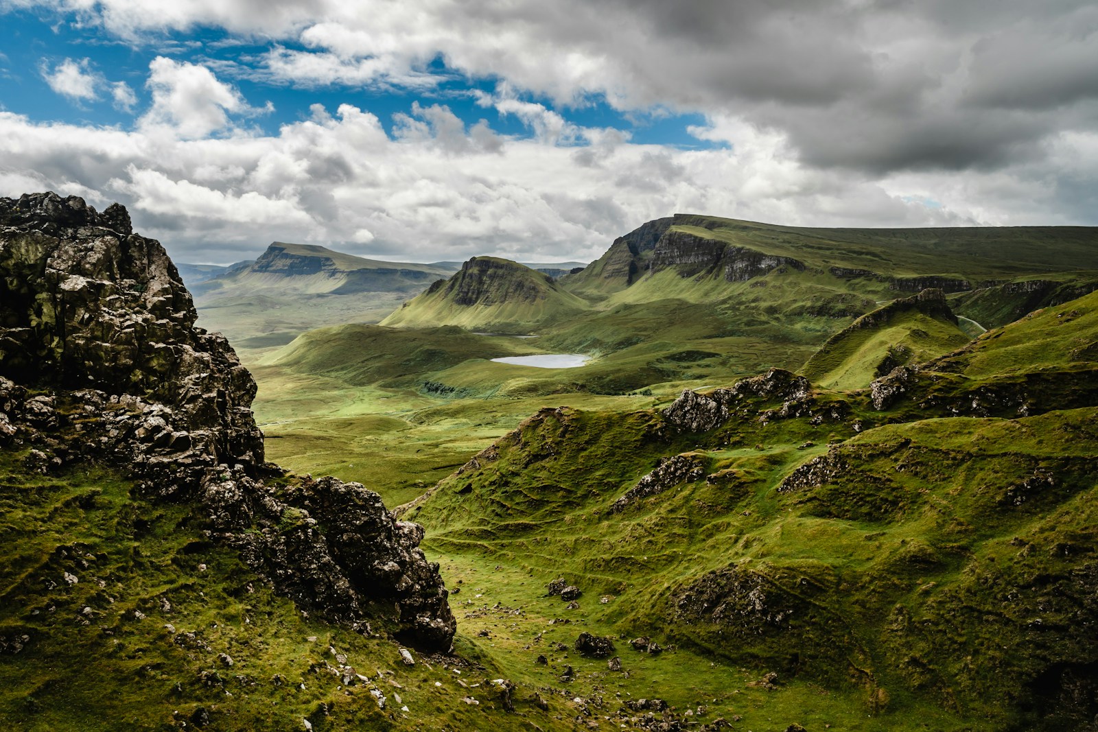
2. Why Its Location Matters
- It’s a compact, walkable city with dramatic geography—built on volcanic rock and surrounded by hills.
- Offers panoramic views, coastal walks, and quick access to the Highlands.
- Its location has shaped Edinburgh’s history as a defensive stronghold and cultural crossroads.
3. How to Get to Edinburgh
- By air: Edinburgh Airport (EDI) connects to major UK and international cities.
- By train: Waverley Station is Scotland’s main rail hub, linking Edinburgh to London, Glasgow, and beyond.
- By car: Well-connected by motorway, though parking in the city centre is limited.
For longer travel days or train rides between cities, a lightweight travel backpack like this one is useful for carrying essentials like snacks, chargers, travel documents, and a jacket.
4. Nearby Cities & Day Trips
- Glasgow (1 hour by train): Modern art, music, and shopping.
- Stirling (1 hour): Castle, Wallace Monument, and medieval vibes.
- North Berwick (30 minutes): Seaside town with beaches and puffins.
5. What Makes Its Location Special
- You can go hiking in the morning (Arthur’s Seat), tour castles by day, and be on the coast by sunset.
- Perfect for travelers who want nature, history, and culture in one base.
When moving between busy transportation hubs, many travelers prefer keeping important items in a slim running belt like this one so their phone, cards, and passport stay secure while navigating crowds.
Discover Edinburgh’s Strategic Charm
From cityscape views to seaside escapes, Edinburgh’s location makes it a gateway to the best of Scotland. Whether you’re staying put or exploring further, it’s an unforgettable place to start your journey. To make the most of that gateway, you can join a Loch Ness and Highlands day trip from Edinburgh.


Share your thoughts with us! Leave a Comment!