
Whether you’re visiting Glasgow for a weekend or a week, having a clear, user-friendly Glasgow map makes a huge difference. Instead of overwhelming you with street-by-street detail, this guide focuses on the key neighborhoods and must-see sights you should actually care about. Here’s the only Glasgow map you really need to get oriented, explore with confidence, and make the most of your trip.
Get To Know The Traveling Taylors!
1. City Centre: The Heart of It All
- Highlights: Buchanan Street shopping, George Square, Glasgow Central Station.
- Transport Tip: Most trains, buses, and subways connect through here.
- Why Go: It’s your starting point for shopping, dining, and major connections.
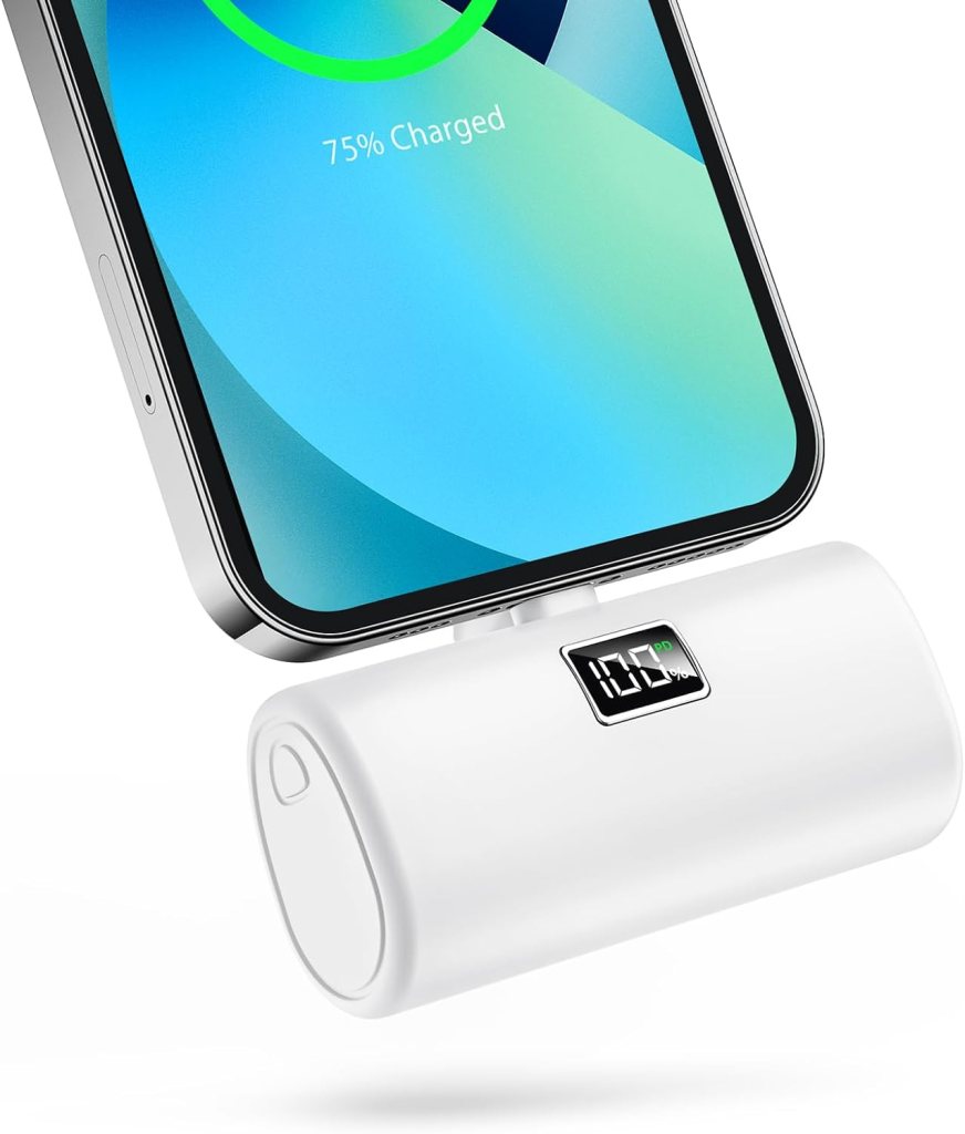
For longer travel days or train rides between cities, a lightweight travel backpack like this one is useful for carrying essentials like snacks, chargers, travel documents, and a jacket.
2. Merchant City: Stylish & Central
- Highlights: Glasgow Cathedral, Necropolis, cafes, bars, and design stores.
- Vibe: Historic meets hip. Great for foodies and architecture lovers.
3. West End: Leafy, Artsy, and Iconic
- Highlights: Kelvingrove Museum, Glasgow University, Botanic Gardens.
- Best For: Museums, vintage shopping, park strolls, and cafe culture.
Getting around the city is fairly straightforward thanks to its extensive public transportation system, and many travelers like using a secure phone holder like this one so they can easily follow navigation directions while walking or riding around.
4. Southside: Creative and Diverse
- Highlights: Queen’s Park, Shawlands, Pollok Country Park.
- Why Visit: Known for its multicultural food scene and indie vibes.
5. East End: Gritty Meets Up-and-Coming
- Highlights: Glasgow Green, the People’s Palace, Barrowland Ballroom.
- Local Tip: This area is great for live music and learning about Glasgow’s working-class roots.
6. Getting Around Glasgow
- Subway (Clockwork Orange): Circular line with 15 stops—easy and efficient.
- Buses: Operate across the city, but Google Maps or local apps help a lot.
- Walking: Glasgow is very walkable. City Centre to West End = ~30 minutes.
- Bike or E-Scooter: Nextbike and e-scooter rentals available near major parks and roads.
7. Printable Glasgow Map Resources
- Tourist Info Centres: Grab a free paper map.
- Downloadable Map Apps: Google Maps (offline mode), Citymapper, and VisitScotland.
- Pro Tip: Star your hotel and top 5 places on Google Maps before you go.
Because the weather can change quickly while navigating the city on foot, some travelers keep their phone protected in a waterproof pouch like this one so they can still check maps even during rainy walks.
Why This Glasgow Map Actually Helps
Instead of mapping every side street, this guide helps you focus on the neighborhoods and highlights that matter most. Whether you’re chasing museums, pubs, or just want to know where not to get lost, this Glasgow map makes the city feel instantly more navigable—and more fun.


Share your thoughts with us! Leave a Comment!