
When we first started planning our trip, the Scotland map quickly became one of the most helpful tools we used. At first glance, Scotland may seem small, but the country is filled with diverse regions, cities, mountains, and islands. Looking closely at a Scotland map helped us understand where everything was located and how long it actually takes to travel between destinations. For travelers planning a visit, understanding a Scotland map makes it much easier to organize an itinerary and explore the country confidently.
Get To Know The Traveling Taylors!
Where Scotland Is Located on the Map
A Scotland map shows the country located in the northern part of the island of Great Britain. Scotland shares a land border with England to the south and is surrounded by water on three sides.
The Scotland map also highlights several nearby bodies of water:
- The North Sea to the east
- The Atlantic Ocean to the west
- The Irish Sea to the southwest
In addition to the mainland, the Scotland map includes hundreds of islands scattered along the northern and western coasts.
If you’re traveling between multiple destinations, packing cubes like these can help keep your suitcase organized so you can easily find what you need during transit.
The Main Regions on a Scotland Map
One of the first things you’ll notice on a Scotland map is how the country is divided into several distinct regions.
These regions include:
The Highlands
A large mountainous region in the north known for dramatic landscapes.
The Lowlands
The southern part of the country where many major cities are located.
The Central Belt
A densely populated area between Scotland’s two largest cities.
The Islands
Groups of islands such as the Hebrides, Orkney, and Shetland.
Understanding these regions on a Scotland map helps travelers see how varied the country’s geography really is.
Major Cities on the Scotland Map
A Scotland map also highlights several major cities that serve as key travel destinations.
Some of the most important cities on the Scotland map include:
Edinburgh
The capital city and one of Scotland’s most popular tourist destinations.
Glasgow
The largest city in Scotland and a major cultural hub.
Aberdeen
A coastal city known for its connection to the energy industry.
Dundee
A growing city with a strong focus on education and design.
These cities appear prominently on any Scotland map and are often starting points for exploring the country.
For longer trips that involve trains or multiple stops, compression packing cubes like these can help maximize space in your luggage and keep everything neatly separated.
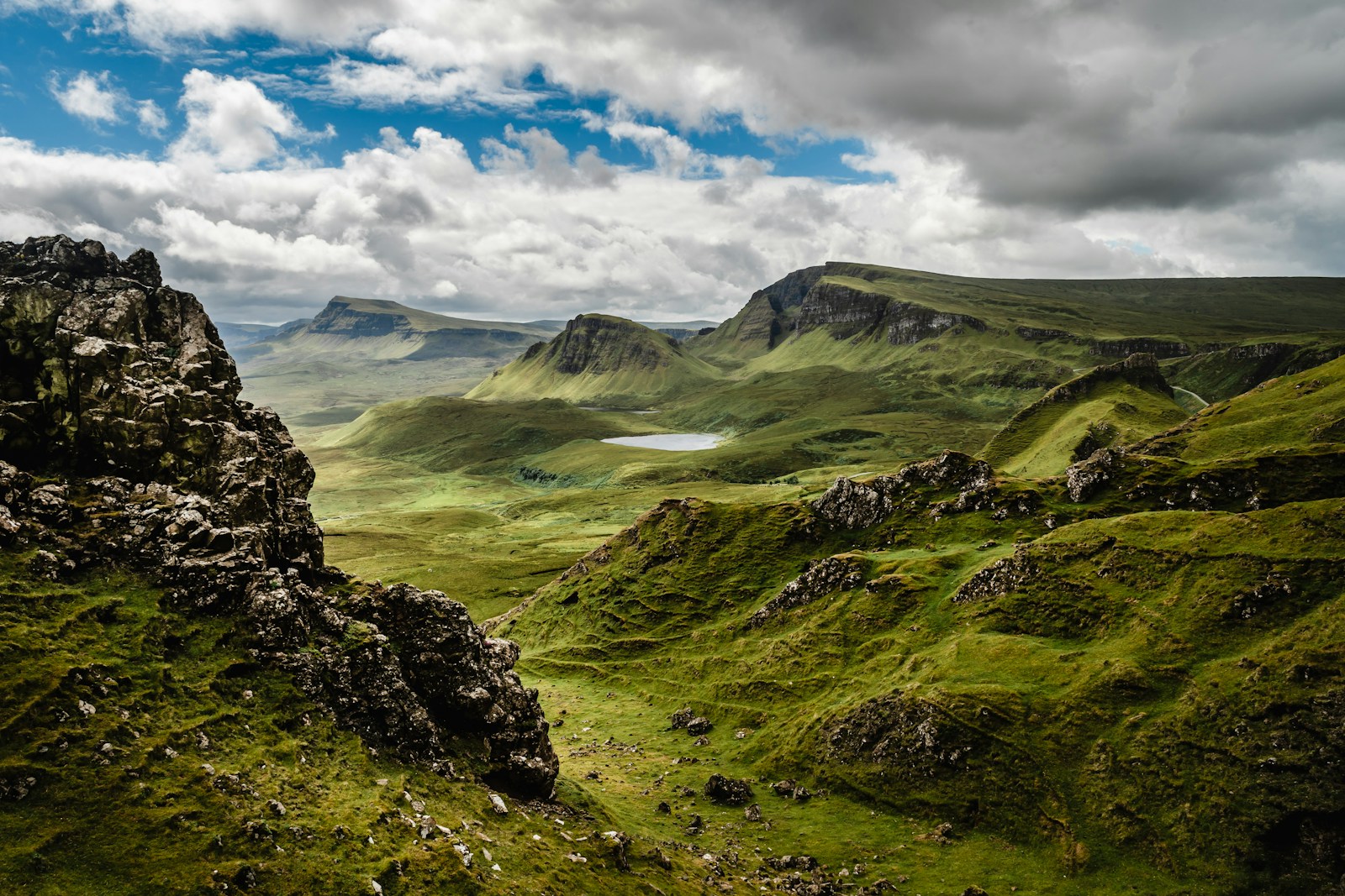
Famous Landmarks on a Scotland Map
When studying a Scotland map, travelers will also notice many famous landmarks spread throughout the country.
Some well-known locations that appear on a Scotland map include:
- Loch Ness
- Isle of Skye
- Ben Nevis
- Glen Coe
- Cairngorms National Park
These landmarks help travelers visualize where some of Scotland’s most beautiful destinations are located.
Using a Scotland Map to Plan Travel Routes
A Scotland map is especially helpful for planning travel routes. Because many scenic destinations are located in rural areas, understanding distances between places is important.
For example, a Scotland map helps travelers see:
✔ How far the Highlands are from major cities
✔ Which roads connect scenic regions
✔ Where ferry routes travel to islands
✔ The location of national parks and landmarks
Many visitors use a Scotland map when planning road trips through the Highlands.
Digital Scotland Maps for Travelers
Today, many travelers rely on digital versions of a Scotland map while exploring the country.
Navigation apps and online maps make it easy to:
- Find directions between destinations
- Locate restaurants and attractions
- Discover scenic viewpoints along the way – Experience these places in person. For travelers who enjoy documenting their adventures, a tiny wearable camera like this one makes it easy to capture hands-free POV footage while exploring.
However, having a basic understanding of the Scotland map before arriving can still make travel much easier.
Why a Scotland Map Is So Useful
Even though Scotland is relatively compact, travel times can sometimes be longer than expected because of winding rural roads and mountain terrain.
A Scotland map helps travelers understand:
✔ Distances between cities and villages
✔ The layout of regions like the Highlands and Lowlands
✔ Where major attractions are located
This knowledge makes it easier to build a realistic travel itinerary.
For longer travel days or train rides between cities, a lightweight travel backpack like this one is useful for carrying essentials like snacks, chargers, travel documents, and a jacket.
Exploring Scotland with a Map
Looking at a Scotland map before visiting helps travelers see the bigger picture of the country. It reveals how cities, mountains, islands, and coastlines all fit together.
During our trip, studying the Scotland map helped us plan scenic routes and discover places we might have otherwise missed. It made the journey feel more connected and easier to navigate.
For anyone planning a visit, understanding the Scotland map is one of the best ways to prepare for exploring the landscapes, cities, and hidden gems that make Scotland such an incredible destination.


Share your thoughts with us! Leave a Comment!